Maps
Africa
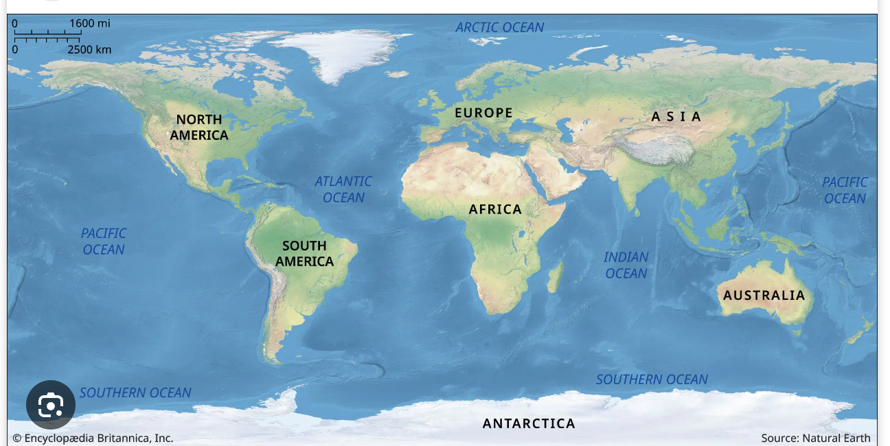
The Democratic Republic of the Congo is the second largest country in Africa. Despite being rich in natural resources it is the second poorest country in the world. The equator crosses through the middle of the country. Nine countries surround the DRC: South Sudan, Uganda, Rwanda, Burundi, Tanzania, Zambia, Angola, Republic of the Congo and the Central African Republic. The DRC is a little less than one-fourth the size of the United States and is divided into 26 provinces. Ituri Province, of which Bunia is the capital, is in the northeastern part of the country. While French is the official language Swahili and Lingala are the most prominent national languages in the Ituri Proviince. Many local tribal dialects are in use..


Bunia
Map of Bunia and surrounding areas of ministry. Bunia has three Internally Displaced Persons Camps, IDP’s. ISP north of Bunia has 32,000 occupants, Kolomani houses 12,000 and Rwampara, located closest to the Peace Center has 7,000.
Democratic Republic of the Congo

The capital of the DRC is Kinshasa on the westernmost side of the DRC,. Kinshasa is 3065 km (1904 miles) and a 2 day plus 15 hour drive from Bunia.. By plane the distance is 1106 km 687 miles) taking 3 hours 40 minutes.